Course Data
Natural Earth
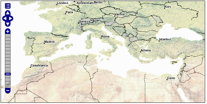
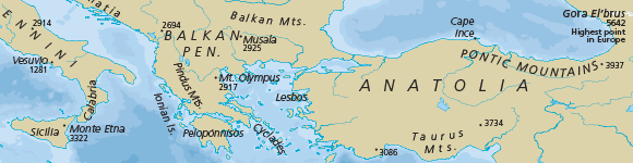
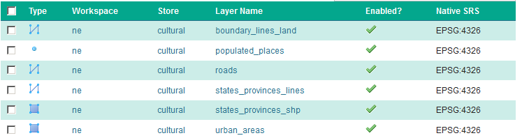
The Natural Earth dataset is a free collection of vector and raster data published by the North American Cartographic Information Society to encourage mapping.
For this course we will be using the Natural Earth cultural and physical vector layers backed by a raster shaded relief dataset ( vector | raster).
Natural Earth
Digital Elevation Model
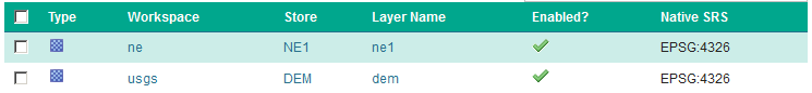
A digital elevation model records height information for visualisation and analysis. Natural Earth also provides this as extra data. Download the DEM to be used in this workshop.
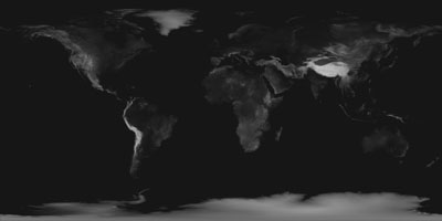
Digital Elevation Model
The GeoServer “dem” styling has been used for this dataset.
Configuration
To set up GeoServer:
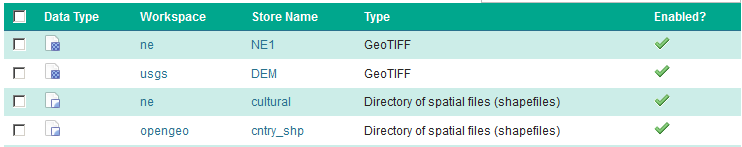
Use the Importer to add and publish -
the following TIF Coverage Stores:
- dem_large/16_bit_dem_large.tif
- ne/ne1/NE1_HR_LC_SR.tif
the following directories of shape files:
- ne/ne1/physical
- ne/ne1/cultural
Cleaning up the published vector layers:
- Layer names have been shortened for publication - the
ne_10m_admin_1_states_provinces_lines_ship.shpis published namedstates_provinces_shp - Layer names should not start with a number (due to being XML invalid), so the
16_bit_dem_large.tifis published nameddem - Use
EPSG:4326as the spatial reference system
- Layer names have been shortened for publication - the
To clean up the published raster layers:
- The NE1 GeoTiff is styled with the default
rasterstyle - The dem GeoTiff is styled with the default
DEMstyle
- The NE1 GeoTiff is styled with the default
Optional: create a
basemapgroup layer consisting of: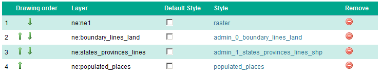
This offers a combined layer, forming a cohesive base map.